

Skip to content

Gaps on the map

Why do planes disappear over the sea?

Because the receivers that hear them are on land. An aircraft announces its position by radio, and someone on the ground has to be close enough to pick it up. In the middle of an ocean there is nobody there, so a free tracking map goes blank.

The aircraft has not gone anywhere. It keeps transmitting, air traffic control still knows where it is, and it reappears on the map as soon as it comes back within range of the coast.

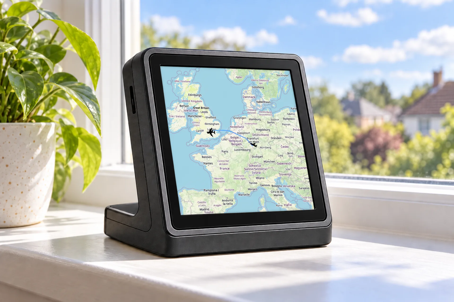
A live flight map on a tablet, showing aircraft over land and the coast
Live maps are fullest over land, where there are receivers. Out to sea, the coverage thins.

How it works

A radio signal with a horizon

Most aircraft broadcast their position, height, speed and identity about twice a second. That broadcast, called ADS-B, travels in a straight line. It does not bend around the curve of the earth, so a receiver can only hear an aircraft while it is above that receiver's horizon.

For an airliner at cruising height, that horizon is a long way off, often more than 200 miles from a well-placed receiver on the coast. Beyond that, the earth itself is in the way. Across the middle of the North Atlantic, the widest parts of the Pacific and the Southern Ocean, no receiver on land is close enough.

Lower aircraft disappear sooner. A helicopter flying to an offshore platform at 2,000 feet can drop off the map 50 miles from the coast, because its horizon is much nearer.

Filling the gap

Why some trackers still show them

Since 2019, receivers carried on satellites can hear ADS-B from orbit, which covers the oceans. Air navigation services use that data, and some commercial tracking sites buy it and show oceanic flights, often as part of a paid plan.

Free maps built from volunteers' receivers on the ground do not have it, so they show the gap. That is why the same flight can be visible all the way across the Atlantic on one site and vanish for a few hours on another.

Out of sight, not out of mind

Air traffic control still knows where it is

Oceanic controllers do not rely on a public map. Over the North Atlantic, aircraft fly agreed tracks that change daily with the jet stream, and they report their position automatically over satellite data links, with a time and a height. Shanwick, run from Prestwick in Scotland and Ballygirreen in Ireland, handles the eastern half, and Gander in Canada the western half.

Controllers separate oceanic traffic using those reports and satellite surveillance, and talk to crews by data link or long-range radio. The flight is followed the whole way. Only the free tracker loses it.

Not just the sea

Other reasons a plane vanishes from a tracker

The sea is the biggest gap, but not the only one.

  • check_circleLow aircraft in hills or remote areas, where no receiver can see them past the terrain.
  • check_circleOlder light aircraft and many gliders that do not broadcast ADS-B at all.
  • check_circleMilitary aircraft, which often switch the broadcast off.
  • check_circleAircraft on the ground at small airfields, below every receiver's line of sight.
  • check_circleGaps where only one receiver hears an aircraft that does not send its own position, so the network cannot work out where it is.

On the desk

Your sky, not the ocean

FlightAbove looks at the aircraft around your house, out to 250 km at most, not the whole planet. If you live near the coast, aircraft just offshore usually show up, because receivers along the coast can hear them.

It names the aircraft you can see or hear: the flight, the type, a photo, the route and the height. How aircraft tracking works explains where that picture comes from.

Hardware from £99.00, paid once, made in the UK

FlightAbove Mini showing the aircraft around the house on a simple radar

Quick answers

Questions about planes disappearing over the sea

Why do planes disappear over the sea on flight trackers?

Their position is broadcast by radio and picked up by receivers on land. Over the open ocean no receiver is close enough to hear it, so a free tracking map has a gap. The aircraft keeps transmitting the whole time.

Is a plane over the Atlantic still tracked?

Yes. Oceanic air traffic control receives automatic position reports over satellite data links and uses satellite surveillance. The flight is followed all the way. Only some public maps lose it.

Why can I see a flight over the ocean on one site but not another?

Some commercial sites buy satellite ADS-B data, which covers the oceans. Free maps built from receivers on the ground cannot see that far out.

How far out to sea can a plane be tracked from land?

For an airliner at cruising height, often more than 200 miles from a well-placed coastal receiver. Lower aircraft, such as helicopters, drop out much sooner because their radio horizon is closer.

Do planes turn their transponders off over the ocean?

No. Airliners keep transmitting. The gap is on the ground, not in the aircraft.

Why do small planes vanish from trackers more often?

They fly lower, so the curve of the earth and hills block their signal sooner, and some older light aircraft do not broadcast ADS-B at all.

How aircraft tracking works· How high do planes fly?· Do I need an ADS-B receiver?· What are planes overhead?

The sky outside

The planes you can actually see.

The flight, the type, a photo and the height of the aircraft around your house. A clock when the sky is quiet. Paid once, made in the UK.