Set your location, bearing, and radius once. FlightAbove continuously filters live ADS-B data to show only what is visible from your exact window. No map needed. Just glance.
The same data as Flightradar24, filtered to your personal patch of sky and displayed on a dedicated desk display.
Three things work together. Each one is configurable by you.
You set your coordinates and compass bearing once during setup. FlightAbove builds a detection cone around your window bearing. Only aircraft that fall within that cone ever appear on your display.
Your sky, not the world's.
Aircraft broadcast their position, altitude, speed and route via ADS-B transponders on 1090 MHz, roughly twice every second. FlightAbove receives and processes this live with no delay.
Adjust radius, altitude range, and viewing arc from your phone dashboard. Perfect for tuning to a specific flight path, airport, or just your garden view.
Whether you're in a city dense with flight paths, near a major airport, or somewhere quieter, FlightAbove adapts. If aircraft are flying overhead and broadcasting ADS-B, they will appear.
Coverage density: Most dense over Europe and North America where ADS-B receiver networks are thickest. Growing globally as commercial mandates spread to more airspace.
From wide-body jets to military transports. FlightAbove identifies whatever is passing above based on your detection settings.
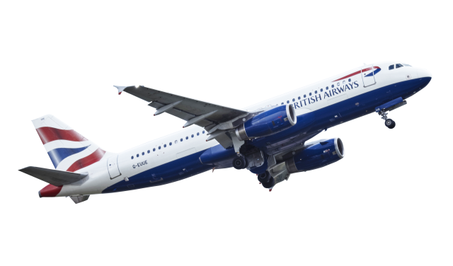
Major airline jets from around the world.
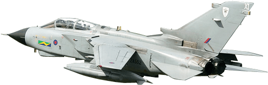
Jets, transports and surveillance.
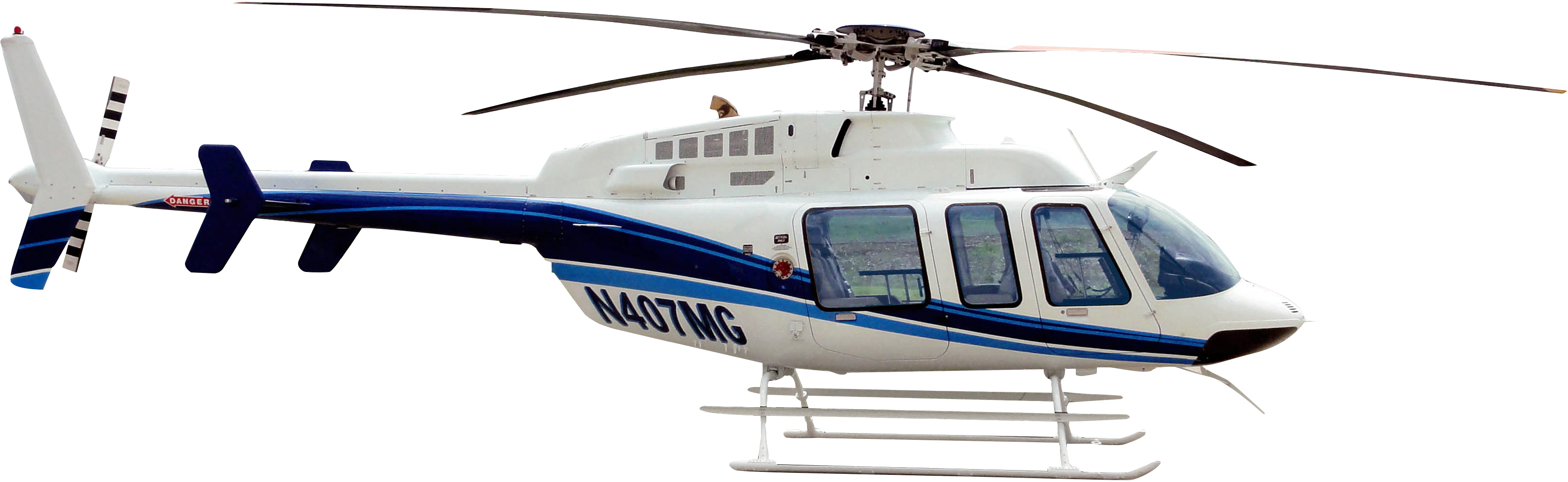
Emergency, transport and private.
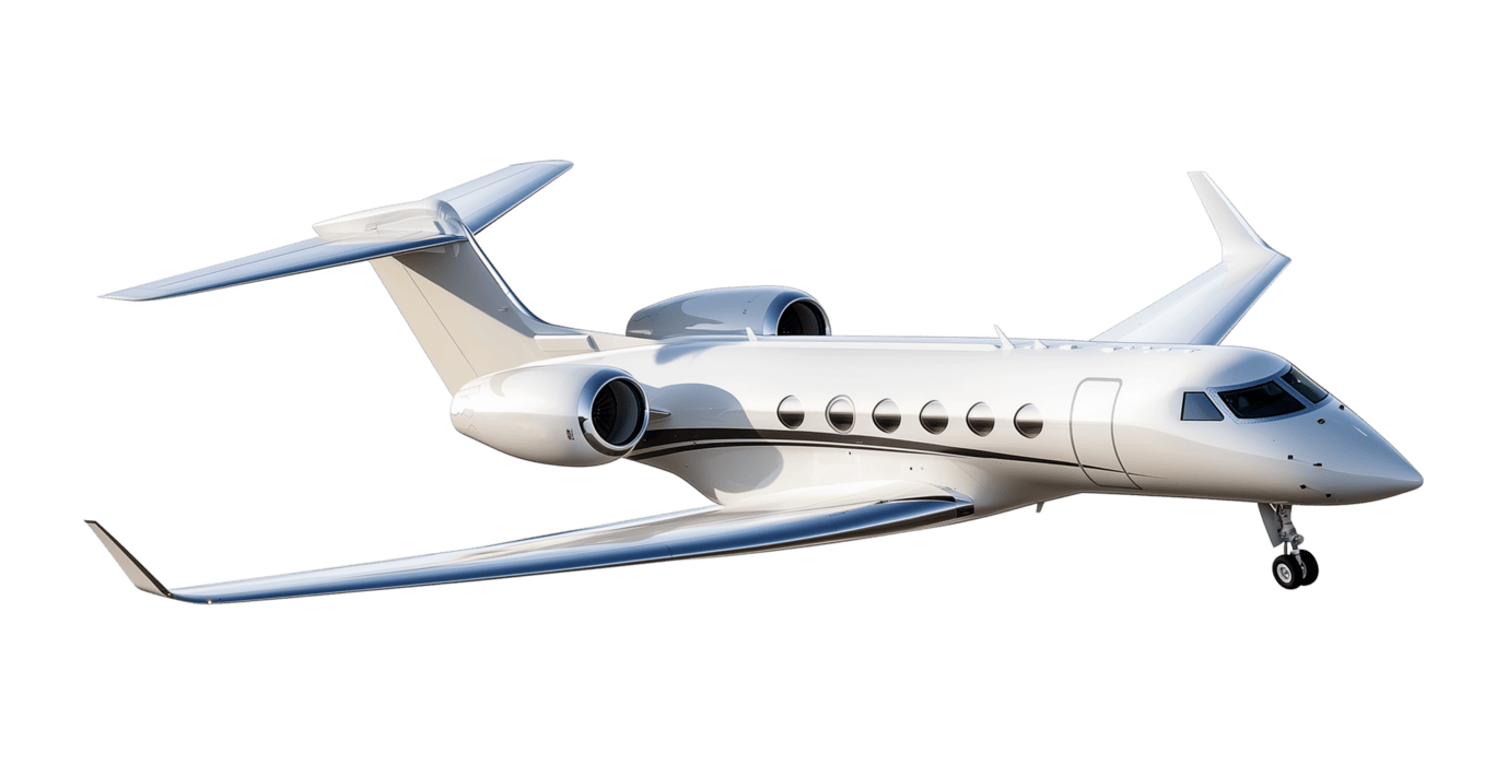
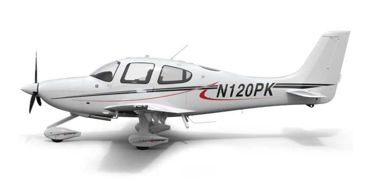
Business jets and executive travel.
General aviation and recreational.
Customise your detection settings to match your exact viewing window. Adjust radius, altitude range, and compass bearing from your phone at any time.
Set once during initial setup, then forget about it. FlightAbove continuously calculates which aircraft are within your cone of view. Living directly under a flight path? Fine-tune the bearing to see exactly those routes.

Every aircraft detected pulls live ADS-B data and enriches it with aviation databases. Commercial flights show full route and airline details.
Aircraft
Boeing 737-800
Registration
G-EUOB
United Kingdom
Operator
British Airways
IATA: BA
Flight
BA287
LHR to JFK
Altitude
34,000 ft
Cruising
Ground Speed
487 kts
901 km/h
Heading
285 deg
West
Distance
12.4 km
From you
Bearing
245 deg
SW from window
Most commercial flights show full details including airline, flight number, and route. Some military or private aircraft may only show basic position data. This depends on what each aircraft chooses to broadcast via ADS-B, which is entirely normal.
FlightAbove delivers far more than a blip on a map. Every aircraft that enters your detection zone arrives carrying a full payload of live telemetry, identity, and route information pulled straight from ADS-B and enriched by global aviation databases.
Hangar-full
of live data fields per aircraft
updated continuously, more added regularly
Callsign
The flight identifier broadcast by the transponder, such as BAW179 or EZY8KP
Flight Number
Scheduled commercial flight number where published by the operator
Registration
Unique tail number permanently assigned to the airframe, e.g. G-XWBA
ICAO Hex
24-bit Mode S address hardwired into the transponder at manufacture
Airline
Operating carrier resolved by ICAO or IATA code from the callsign
Airline Logo
Visual carrier badge matched from the aviation operator database
Aircraft Type
Full model designation, e.g. Boeing 737-800 or Airbus A321neo
Manufacturer
Maker of the airframe: Boeing, Airbus, Embraer, Bombardier and more
Aircraft Image
Technical line drawing or photograph matched to the specific type
Owner
Registered owner or leasing company behind the airframe
Owner Country
Country of registration inferred from the tail number prefix
Latitude / Longitude
GPS-derived position broadcast by the aircraft several times per second
Altitude
Current pressure altitude in feet or metres, switchable in settings
Distance
Live straight-line distance from your configured home location
Bearing
Compass heading from your window to the aircraft overhead
Direction Arrow
Visual pointer on the display telling you exactly where to look
Ground Speed
Speed over ground in knots or km/h, refreshed every few seconds
Heading
Track angle the aircraft is currently flying, in degrees true
Vertical Rate
Rate of climb or descent in feet per minute
Squawk
Four-digit transponder code allocated by air traffic control
Flight Phase
Climb, cruise, or descent inferred from altitude and vertical rate
Origin Airport
Departure airport shown by IATA and ICAO code where filed in the plan
Destination
Scheduled arrival airport when present in the broadcast flight plan
Route Path
Full journey displayed as origin and destination pair, e.g. LHR to JFK
ETA
Estimated arrival time where included in the filed flight plan data
Airport Names
Full plain-text airport names resolved from IATA codes for easy reading
Priority Sorting
Aircraft ordered by distance so the nearest is always at the front
Detection Radius
Data filtered precisely to your configured radius and compass bearing arc
Active Hours
Detection can be scheduled to run only during the hours you choose
Refresh Cycle
Display polls on a short cycle for near-live accuracy throughout the day
Data availability varies by aircraft
Commercial airliners typically provide full route, operator, and telemetry data. Military aircraft and some private jets may only broadcast basic position and altitude for operational or security reasons. This is a characteristic of ADS-B itself, not a limitation of FlightAbove.
Hand-built in the UK. One-time payment. 14-day returns. No subscription, ever.
No app. No subscription. No map to open. Just glance at your display and know what's flying over your home.
£269.00 one-time payment
