
Where it is
Latitude and longitude, measured on the aircraft and broadcast.
The lookup
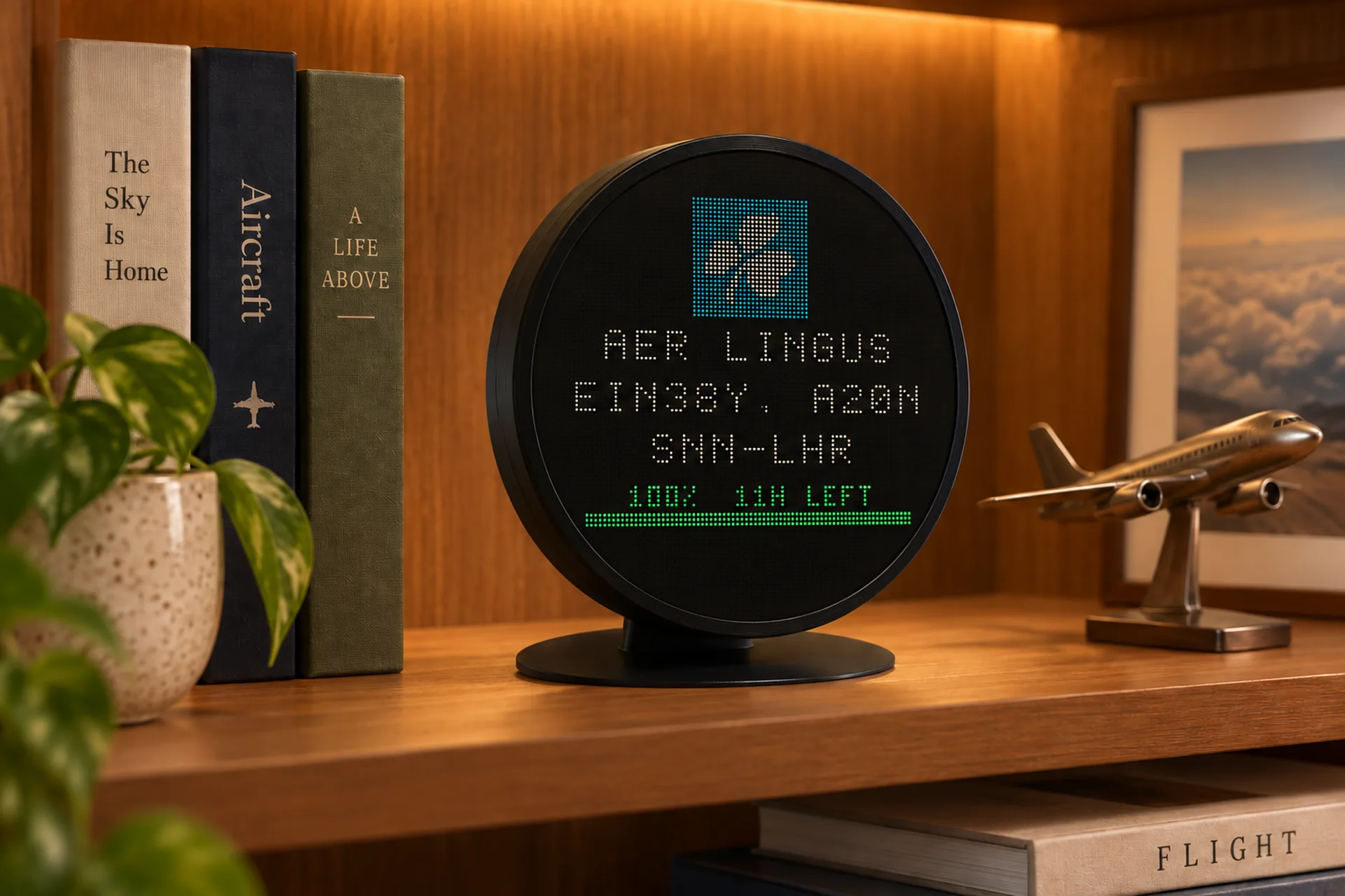
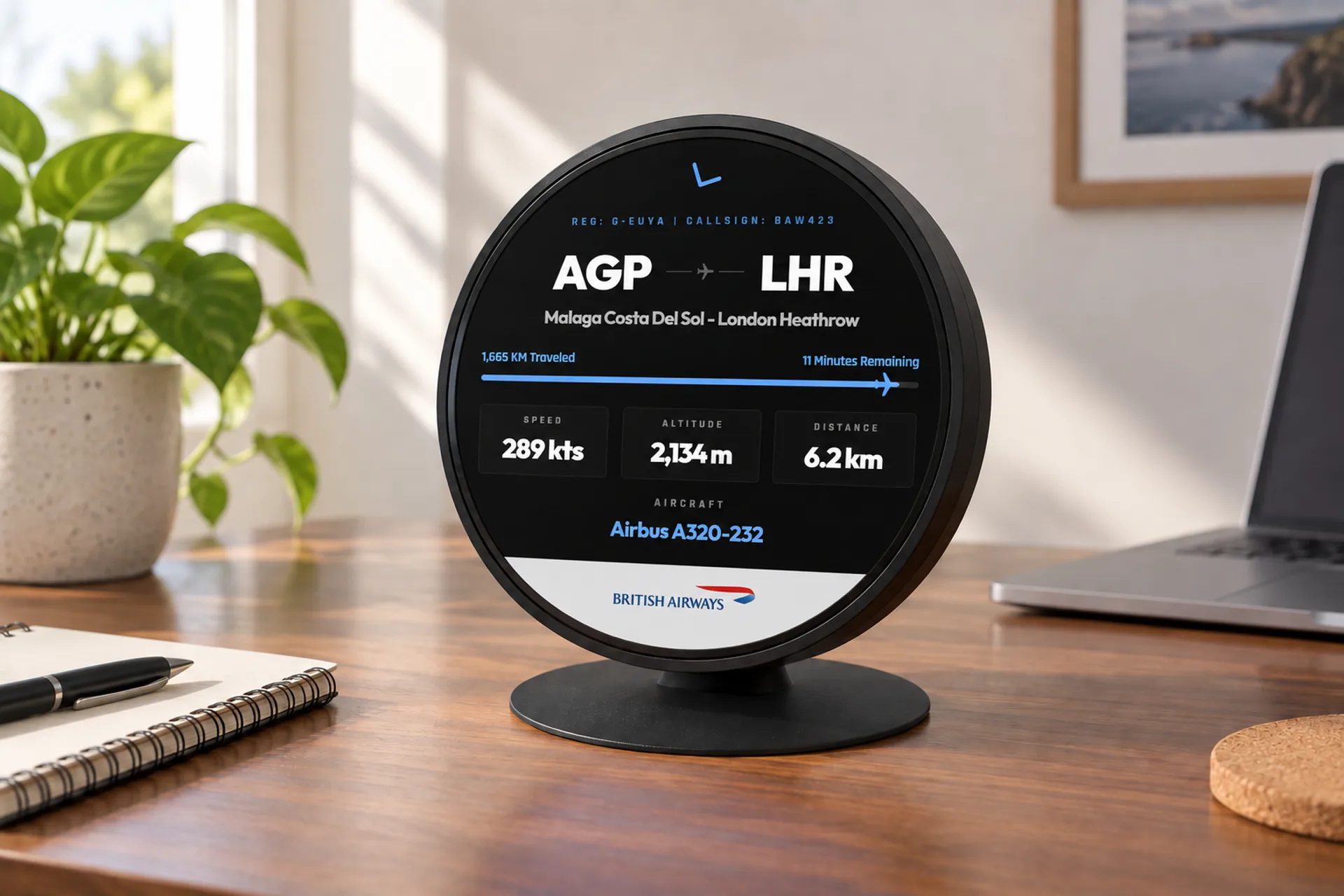
Where does a flight route come from, if the aircraft overhead is not announcing it? From a list. The radio message has a position, a height, a speed, a heading and a callsign. Someone else then looks that callsign up and attaches a pair of airports. That attachment is the part trackers disagree about.
The dot can be right while the destination is last season's. FlightAbove shows a from and to when a route is known, and leaves them off when it is not. How the position itself is heard is a separate step.
What the aircraft actually says
ADS-B on 1090 MHz is a position report, sent about twice a second. It is enough to put the aircraft on a map. It is not a timetable.
Latitude and longitude, measured on the aircraft and broadcast.
Height, which FlightAbove shows in feet once the report is received.
Speed and heading. Useful, and still not a destination.
The flight name the crew are using, such as BAW286. This is the key the lookup uses.
The registration of that airframe, when the message includes it. Still not a city.
No departure. No arrival. "London to Malaga" was never in the radio message.
After the radio
Every product that prints "from" and "to" has chosen one of these, or a mix. They are not equally fresh, and none of them is the aircraft talking.
A community list of callsign to city pair, built from flights people have already seen. Free, and common. It remembers the pairing, including the one the airline stopped flying.
The published timetable. Right on the day it was issued. It does not know that this morning's aircraft went technical, or that the flight was retimed onto a different city.
A paid feed that checks the plan against the aircraft that took off. Closer to today. It costs money per look, which is why a lot of hobby maps never buy it.
Why the destination is off
Around the end of March and the end of October, airlines publish the next season. Numbers move between cities in bulk. A list that cached the summer pairing will keep offering it through the winter.
A morning Manchester to Dublin and the later Dublin to Manchester can share a number. Store one pair, with no sense of which leg is airborne, and the screen points backwards for about half the day. That is the aircraft that looks as if it is arriving from the airport it has just left.
One flight number can mean a different city pair on a different day of the week. After a merger, inherited numbers can belong to another part of the network entirely.
Police, air ambulance and a lot of military flying are not a scheduled service between two airports. There is nothing honest to print. A tracker that prints a route anyway has invented it.
To check one yourself, take the callsign off the screen and look that flight up on the airline that is operating it. Do it for a few airliners across a week. Matching cities means the lookup is current. Last season's airport, or the journey backwards, means the list behind the screen has not been refreshed. The number on the ticket and the number in the air are a related muddle, and a different one.
On the desk
FlightAbove is a display for the aircraft you can hear, out to 250 km. The callsign, the type, a photo of that type, the height in feet and the speed come from the broadcast and the networks that join it up. The from and to are shown when a route is known for that callsign.
When it is not known, the route stays off. An air ambulance does not get a made-up city pair, and a quiet sky stays a clock and the weather. The screen is not a distress service, and it is not trying to be the airline's timetable.
Hardware from £99.00, paid once, produced in the United Kingdom
Callsign, type, photo, height, speed. A from and to when the lookup has one.
No city pair for police, air ambulance, or a callsign the list does not know.
No aircraft drawn in to fill a quiet window, and no destination drawn in to fill a gap.
Quick answers
No. The broadcast carries position, height, speed, heading and a callsign. It does not carry the airport the aircraft left, or the one it is going to. Any from and to on a screen was attached afterwards.
The position is measured. The city pair is a lookup, and lookups go stale. Airlines rewrite their timetables twice a year, and a list that still has last season's pairing will keep serving it.
A short-haul number is often used both ways on the same day. A morning outbound and the later return can share it. A list that stores one pair, with no idea which way the aircraft is pointing, will reverse the journey for half the day.
Twice a year, around the end of March and the end of October. Summer and winter timetables swap, and flight numbers move between city pairs. A cached pairing that is not refreshed across that change is a common reason for a wrong destination.
A police helicopter, an air ambulance or a military transport is not a scheduled service between two airports. There is no city pair to find. A screen that fills one in is guessing.
Note the callsign and the cities on the screen, then look that flight up on the operating airline's own site. The airline is the authority on its timetable. A handful of airliners across a week is enough to see whether the lookup is fresh.
The aircraft, if it is in range: callsign, type, a photo of the type, height and speed. The from and to appear when a route is known. They are left off when it is not. A quiet sky is a clock and the weather, not an invented destination.
How aircraft tracking works · What are planes overhead? · Flight tracker display
The measured part
Height, callsign and a route when one is known. Produced in the United Kingdom. Hardware paid once.